Road Traffic Accident Diagrams: the Court of Appeal says “Use Google Maps” - Tom Gibson, Pupil Barrister, Outer Temple Chambers
20/01/12. Are you still using diagrams coupled with lots of photos from different angles to describe the location of road traffic accidents?
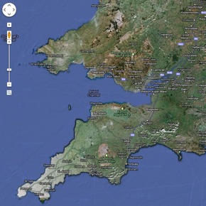
If you are then you should be using aerial photos from Google Maps (or other online resources), said the Court of Appeal in Ievers v Prebble [2010] EWCA Civ 1615.
Ievers v Prebble involved a road traffic accident on a four lane, five road roundabout near Leicester City Centre. After allowing the appeal (and reducing the defendant’s share of liability from 30% to zero), Sedley LJ had this to say about road traffic accident diagrams:
“Our papers, like the judge's, included a sketch plan of the roundabout, showing in places directional arrows which were plainly incorrect and photographs which, as always in road traffic cases, distort perspective sufficiently to render them at least useless and at most dangerous. It is therefore a piece of good fortune that the judge happened to be familiar with this roundabout. One prefers not to visualise what would have happened if she had had to take to a view in comparably heavy traffic. But what neither the judge nor the parties had was the aerial photograph which Moses LJ, or perhaps more accurately his clerk, was able without undue difficulty to download from the internet over the short adjournment. I would respectfully commend this resource to solicitors, counsel and courts which need a serviceable view in plan of a location in the United Kingdom.” (para 26, emphasis added).
So there you have it. Next time you need to describe or to understand an accident, reach for the aerial photos on Google Maps before trying to rely on sketch plans and photos.
Tom Gibson
Pupil Barrister, Outer Temple Chambers


![Appeal judge rules that credit hire company has no costs liability following a finding of fundamental dishonesty in personal injury case: RSA v. Fastrack Solutions Limited [2023] 4 WLUK 92 - David Bowden, Erimus Chambers](/content/images/resized/images/stories/carkeys_72_72.jpg)


